by Klau Geomatics | Jun 24, 2019 | Press release
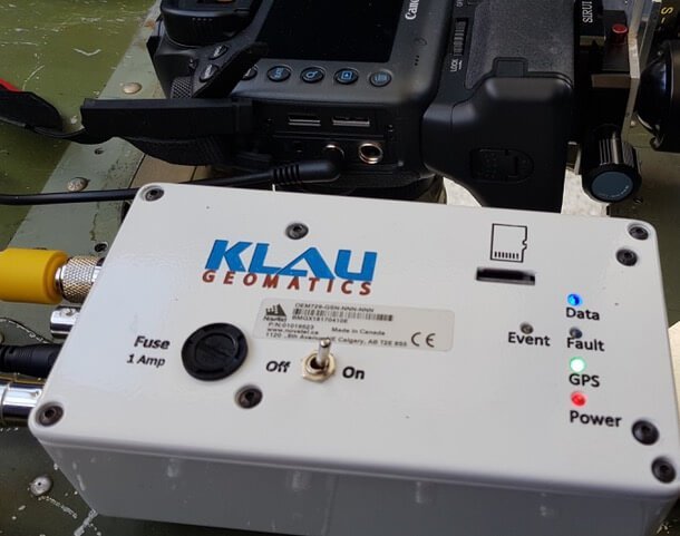
Leveraging UAS technology across surveying and engineering sectors is demanding. The expectations of accuracy and accountability require the best in expertise, methodology, and equipment. Using the latest UAS photogrammetric hardware and software, surveyors are now...
by Klau Geomatics | Jun 20, 2019 | Press release
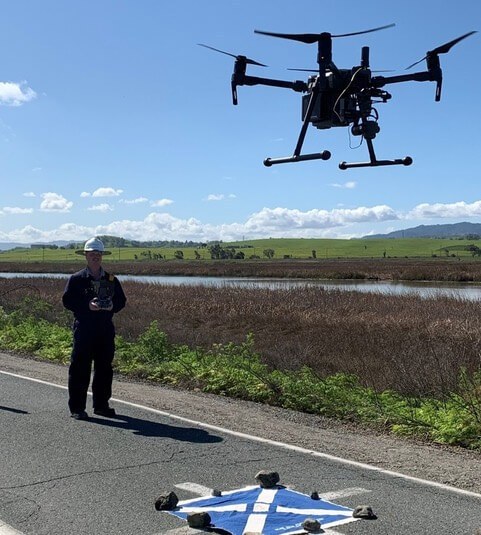
UAVs have brought photogrammetry back as a bread and butter tool for surveying. They’ve put mapping back on the map. But often we see large ambitious UAV projects undertaken, to capture long stretches of highway or vast expanses of detailed mapping, taking weeks of...

Recent Comments