UAVs have brought photogrammetry back as a bread and butter tool for surveying. They’ve put mapping back on the map.
But often we see large ambitious UAV projects undertaken, to capture long stretches of highway or vast expanses of detailed mapping, taking weeks of UAV survey crew time, hundreds of battery swaps, 10s of thousands of photos to manage and weeks of processing.
There is a point of scale that tips the balance to manned aerial systems as the cost-effective, right tool for the job.
Commercial manned aerial mapping systems, operated by large aerial imaging companies, carry cameras and IMUs worth hundreds of thousands of dollars, capture massive volumes of data, accurately and efficiently. They are geared up in hardware and software to cope with scale and satisfy the needs of large markets.
But there is a space in between, a sweet spot, that is a surprisingly accessible step up from UAV surveying.
It is not that difficult
A light aircraft such as a Cessna can be set up for aerial mapping, to achieve far greater productivity than UAVs while being simpler and less expensive than a true commercial manned aerial system.
Some aircraft owners have put a camera hole in the floor (by an authorised engineer) or use a wing strut mounted camera pod. With or without a gimbal, a high spec DSLR with the right lens, or a light aerial camera (PhaseOne or Hasselblad) can capture high quality data with their large sensors, at a GSD often not much greater than that of a UAV survey. Carry any sensor or cluster of sensors you like, there’s no weight limit or calculation of minutes of flight time between battery swaps. Just fly.
Flight Management
Flight management systems are available for manned aircraft to plan and fly the mission, not autonomously, but giving the pilot the right visual cues to fly the lines, with automated camera triggering.
PPK and PPP
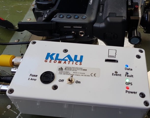
Add PPK or PPP from Klau Geomatics into the mix and efficiencies climb, on large UAV or manned projects, with minimal need for GCPs. A small IMU in the aircraft will enable the KlauPPK software to compute lever arm corrections for each photo. Photogrammetry processing is quick and efficient with accurate camera centres and good lens calibration.
Use Cases
Consider the efficiencies of this setup and at what scale a UAV operation becomes very expensive:
Remote sites: These may require the UAV crew to drive many hours to the site and stay there for some days, even weeks. The manned crew could fly to the site, complete the project and return home the same day.
Long corridor surveys. Fly from one end to the other and back, in one flight. Even with BVLOS drones, permitting is difficult, range is limited, batteries require changing. Not everyone can get BVLOS permitting.
Multiple large sites: Survey them all in the one flight. With PPP there are no base station range limitations, no CORS data needed or ground crew required to set up a base.
Mapping with UAVs is a competitive space and thinking outside of the box opens new opportunities.
The cost-effectiveness of drones diminishes on larger mapping projects and manned aerial data capture can be the most efficient solution.
Contact Klau Geomatics (contact@geomatics.com.au) if you need to improve your efficiencies on large aerial mapping.

