by Rob Klau | Jun 28, 2021 | Press release
Between the worlds of high cost commercial manned aerial mapping and professional UAV mapping, lies an alternative of affordable and accessible large scale aerial mapping option. Using drones to capture long stretches of highway or vast expanses of detailed mapping,...
by Rob Klau | Jun 13, 2021 | Press release
Surveying with Drones and Managing Errors What surveyors live and breathe is error management, so let’s jump to the key points. Surveyors need to check their work. Beyond knowing if it is right or wrong, they need to measure how well they are measuring. Surveying...
by Rob Klau | Jun 10, 2021 | Press release
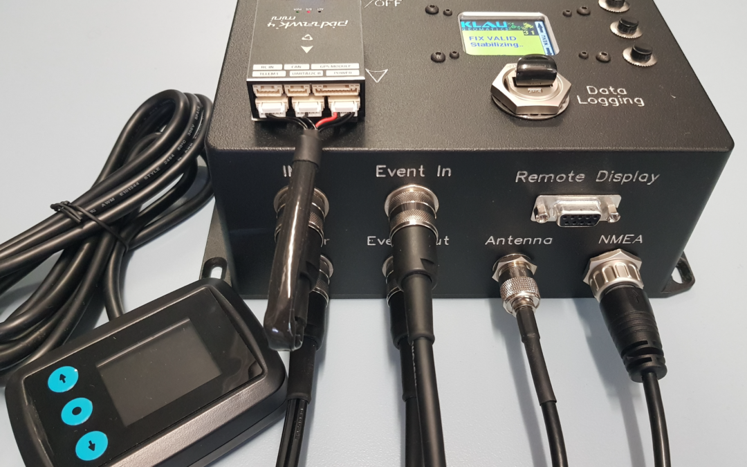
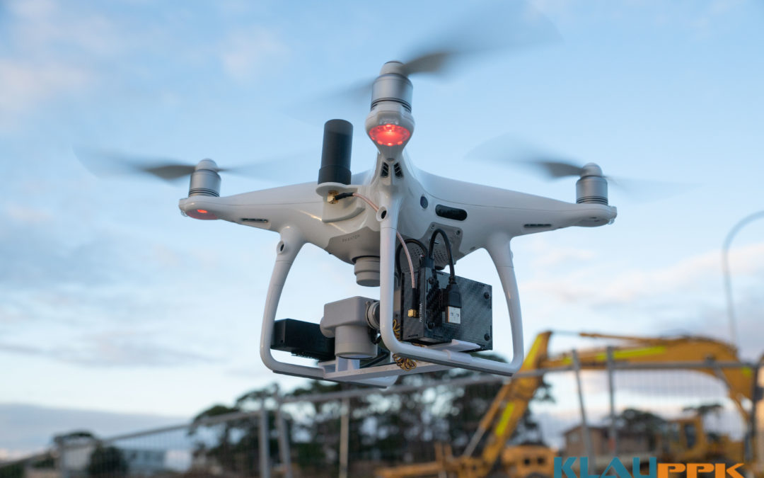
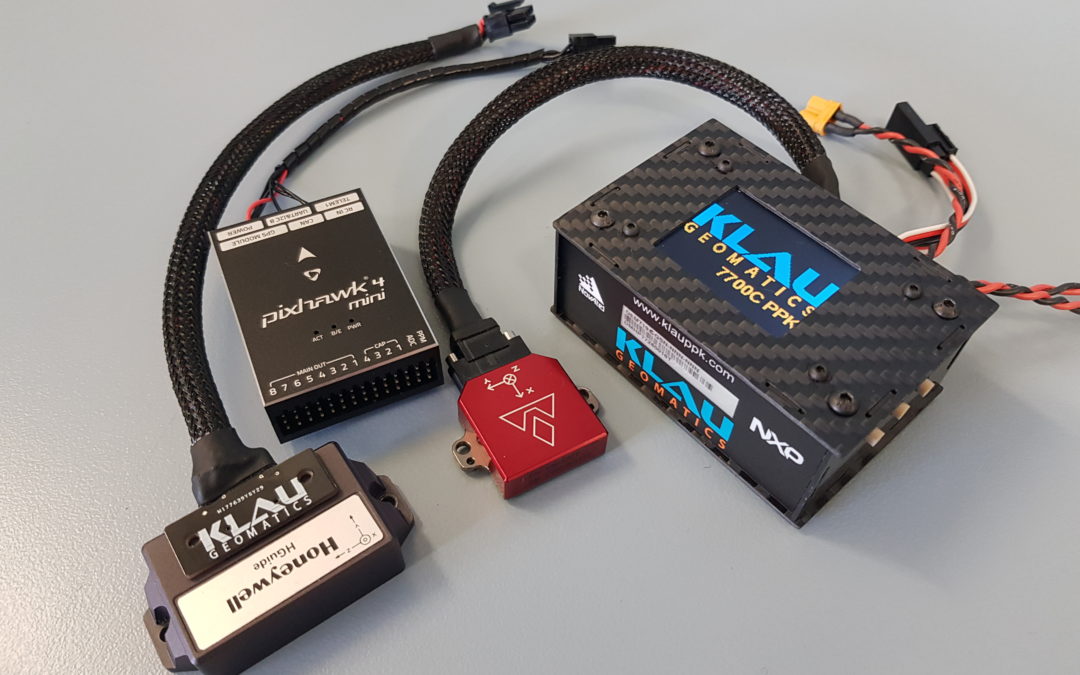
KlauPPK: Central to Accuracy in Open UAV Ecosystem KlauPPK has been the go-to product for survey accuracy on drones since 2015. Now, as the industry starts to move away from the DJI monopoly to a more open architecture, the KlauPPK hardware and software solutions are...

Recent Comments