by Klau Geomatics | Apr 4, 2018 | Press release
Achieving the best possible absolute accuracy, on the ground with UAVs and photogrammetry requires an understanding of a wide range of errors and how they propagate in the system. Aerial data capture is just that, aerial or remotely sensed, and it needs to be tied to...

by Klau Geomatics | Apr 3, 2018 | Press release
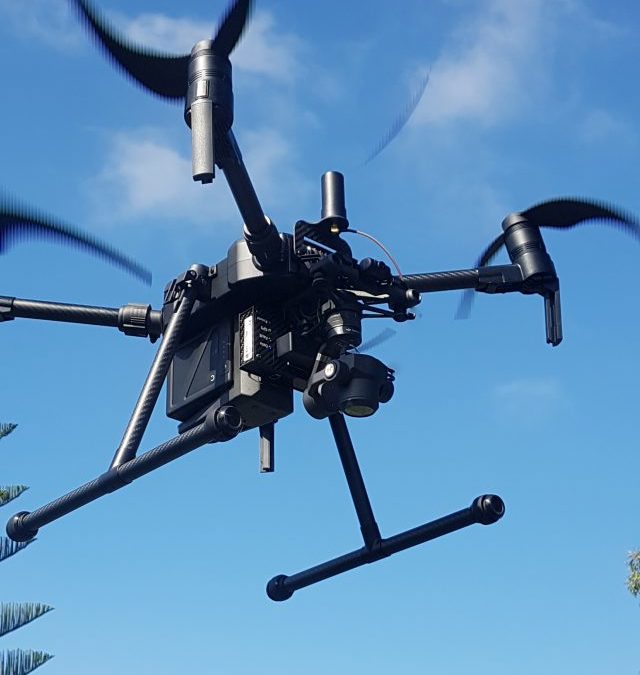
Klau Geomatics, an Australian geospatial technology company, has announced a new PPK system for the DJI Matrice 200. With a similar installation on the Inspire 2, the system is proven to consistently achieve 3cm absolute accuracy in photogrammetry processing...
by Klau Geomatics | Apr 3, 2018 | Press release
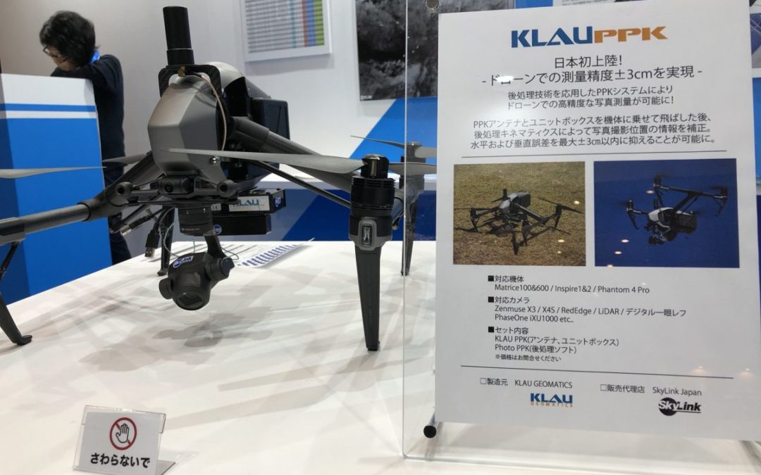
Australian technology company KlauGeomatics has announced the launch of the KlauPPK kits in Japan with a partnership with Skylink to distribute to the Japanese surveying, engineering and construction markets. The KlauPPK technology enables users to create highly...

Recent Comments