KlauPPK
  • HOME
  • HARDWARE
  • SOFTWARE
  • NEWS
  • CONTACT
Select Page
Turning any drone into an accurate mapping system without GCPs

Turning any drone into an accurate mapping system without GCPs

by Klau Geomatics | Oct 19, 2017 | Press release

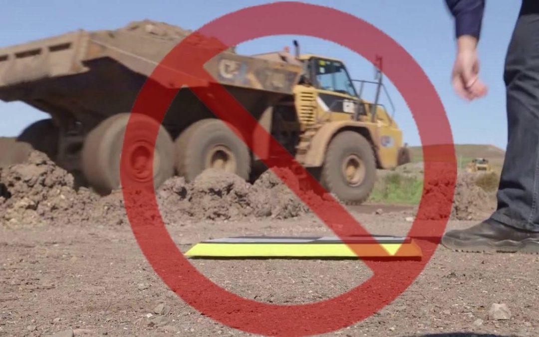
UAV mapping projects require reliable, repeatable accuracy before they can be used and trusted by professional clients. The most common method of achieving this has been placing ground control points (GCPs) which must be spread across the entire site. Whether...
Turning any Drone into an Accurate Mapping System

Turning any Drone into an Accurate Mapping System

by Klau Geomatics | Oct 9, 2017 | Press release

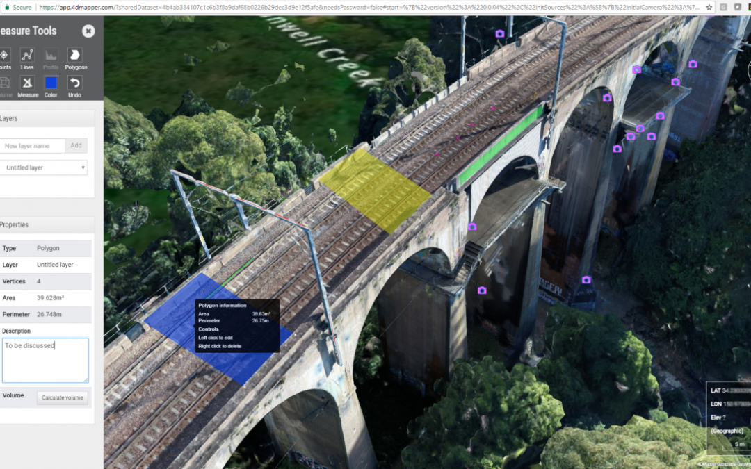
Creating reliable, accurate mapping and inspection products from UAVs has it’s challenges with many pain points on the path to efficiently achieving highly accurate and accessible mapping outcomes. Klau Geomatics leverages it’s hardware, methodology, software and the...

Recent Posts

  • KLAUPPK SOFTWARE FOR THE PHANTOM4 RTK
  • KLAU GEOMATICS RELEASES HIGH ACCURACY REAL TIME
  • SONY CAMERA PAYLOAD FOR DJI DRONES FROM KLAU GEO
  • Sony Camera Payload for DJI drones from Klau Geomatics
  • Klau Geomatics releases High Accuracy Real Time Positioning Technology for aerial mapping and drone positioning

Recent Comments

    Archives

    • October 2019
    • February 2019
    • November 2018
    • August 2018
    • July 2018
    • June 2018
    • May 2018
    • April 2018
    • March 2018
    • October 2017
    • September 2017
    • April 2017

    Categories

    • new post
    • Press release

    Meta

    • Log in
    • Entries feed
    • Comments feed
    • WordPress.org
    • Facebook
    • Twitter
    • Google
    • Instagram
    • RSS

    Designed by Elegant Themes | Powered by WordPress