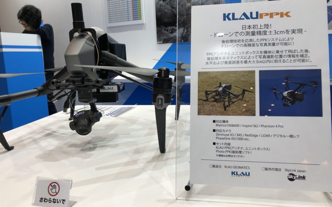
by Klau Geomatics | Apr 3, 2018 | Press release
Australian technology company KlauGeomatics has announced the launch of the KlauPPK kits in Japan with a partnership with Skylink to distribute to the Japanese surveying, engineering and construction markets. The KlauPPK technology enables users to create highly...
by Klau Geomatics | Mar 13, 2018 | Press release
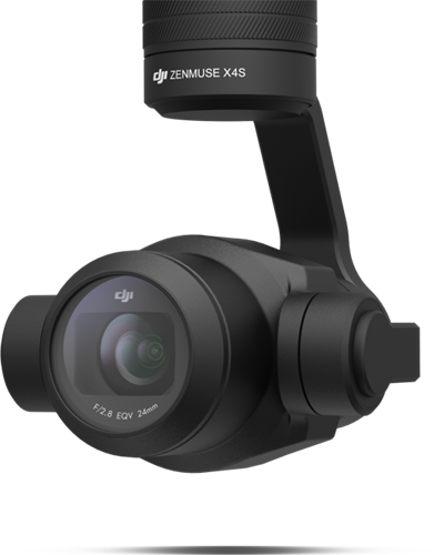
Do DJI know what they have with the X4s camera? This little power house of a camera is a light weight version of the large aerial cameras carried in manned aircraft. How do aerial or metric cameras differ to a DSLR? An aerial mapping camera is primarily designed to...
by Klau Geomatics | Oct 19, 2017 | Press release
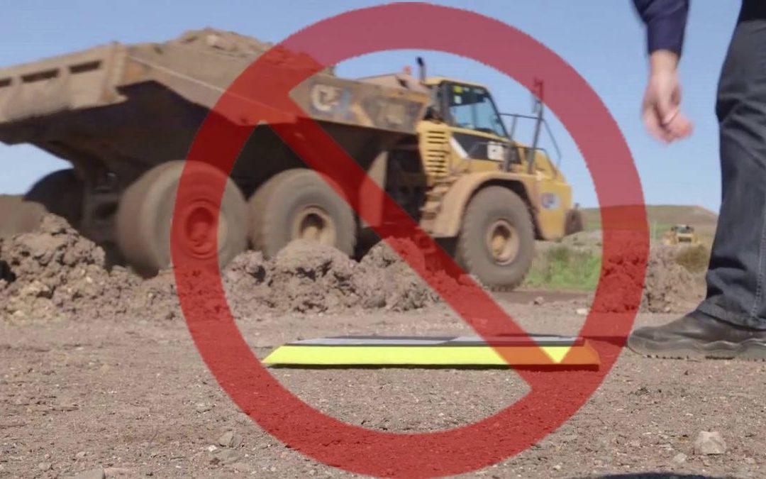
UAV mapping projects require reliable, repeatable accuracy before they can be used and trusted by professional clients. The most common method of achieving this has been placing ground control points (GCPs) which must be spread across the entire site. Whether...
by Klau Geomatics | Oct 9, 2017 | Press release
Creating reliable, accurate mapping and inspection products from UAVs has it’s challenges with many pain points on the path to efficiently achieving highly accurate and accessible mapping outcomes. Klau Geomatics leverages it’s hardware, methodology, software and the...

by Klau Geomatics | Sep 21, 2017 | Press release
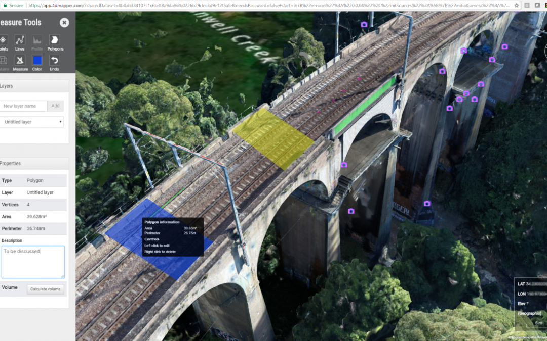
4DMapper has partnered with Klau Geomatics to offer an end-to-end solution for high accuracy mapping, with streamlined photogrammetry processing on Autodesk Forge, a cloud developer platform, delivering unmatched quality in 3D maps and models. 4DMapper, an established...
by Klau Geomatics | Apr 28, 2017 | Press release
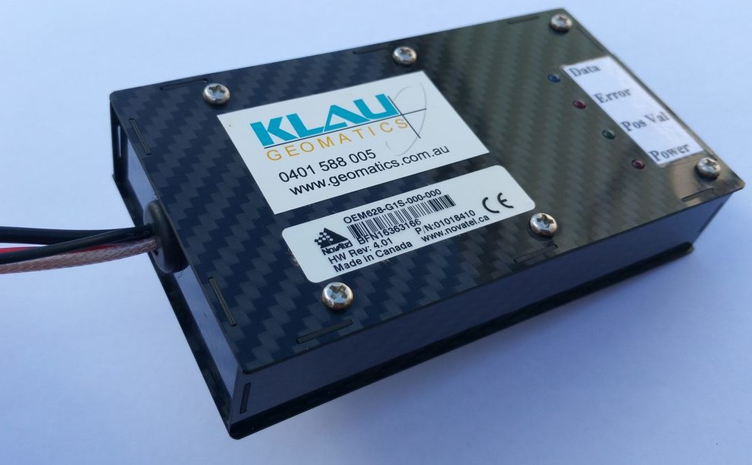
Klau Geomatics, an innovative Australian technology company, enables UAV operators to produce highly accurate maps and models with its plug-and-play PPK positioning system. The system can be configured for most cameras and platforms, manned or UAV, with custom...

Recent Comments