by Klau Geomatics | Jan 13, 2020 | Press release
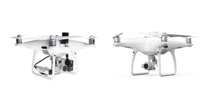
Over the past year or more the Phantom 4 RTK has become the popular entry-level mapping drone. But now with its older brother, the Phantom 4 Pro, back on the block, it’s worth taking a good look at how these drones go head to head on surveying and mapping. To bring...
by Klau Geomatics | Dec 12, 2019 | Press release
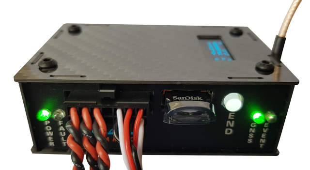
Klau Geomatics, manufacturer of the KlauPPK system, has released a new hardware system that offers increased versatility in accurate positioning for UAV and manned aerial mapping. KlauPPK offers more versatility; the modular design can move between drones, cameras and...
by Klau Geomatics | Oct 9, 2019 | Press release
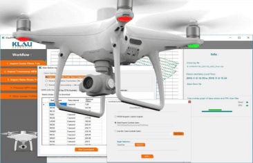
Klau Geomatics, industry leader in PPK hardware and post-processing software, announced today its new PPK software for the DJI Phantom4 RTK drone.READ...
by Klau Geomatics | Oct 9, 2019 | Press release
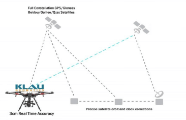
Klau Geomatics, established leader in UAV PPK solutions, has released another breakthrough in survey technology for drones and manned aerial mapping: Real-Time PPP (Precise Point Positioning), enabling 3 to 5cm. READ...
by Klau Geomatics | Oct 9, 2019 | Press release
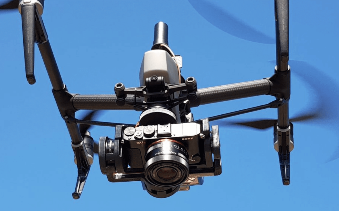
With the end of the DJI X4s camera, drone operators have been looking for a quality mapping camera solution for the Inspire 2 and M200/M210/M210V2 drones. Klau Geomatics has released a Sony camera/PPK payload to offer even better results from these drones. This...
by Klau Geomatics | Jun 24, 2019 | Press release
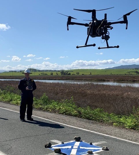
Leveraging UAS technology across surveying and engineering sectors is demanding. The expectations of accuracy and accountability require the best in expertise, methodology, and equipment. Using the latest UAS photogrammetric hardware and software, surveyors are now...

Recent Comments